
Canada Gallery 2012
All Photos Copyright © 2012 Henning Umland
|
These pictures were made during a four-week trip through southern British Columbia and adjacent parts of Alberta in June/Juli 2012. The landscapes in these parts of Canada are nothing but magnificient - coasts (BC only), lakes, rivers, woods, and mountains without end. Splendor sine occasu. Particularly BC has a lot of water, including that coming from above (there must be a reason for the lush vegetation and the many rainforests). Having a raincoat handy may be a good idea.
Canada has also rich cultural resources, and I was impressed with cities like the multiethnic Vancouver and the more traditional Victoria. The Canadians proved to be friendly people who are always willing to help when a tourist gets stuck with some problem.
The photos were made with a Nikon Coolpix P 7100 and processed with Adobe DNG Converter 6.6 (running under Linux with WINE 1.4), Rawtherapee 3.0, Gimp 2.6, and Imagemagick (a powerful command-line tool). On the whole, the P 7100 proved to be a capable camera (RAW mode, manual controls, good zoom lens). However, nothing can beat the much larger image sensor of a single-lens reflex camera. After reading enthusiastic test reports about the P 7100, I was probably a little too optimistic. Afterwards, processing the images turned out to be a constant struggle to suppress noise without sacrificing too much detail.
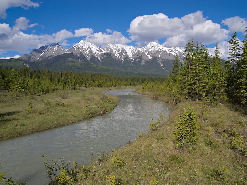 |
Kootenay River, Kootenay National Park, BC
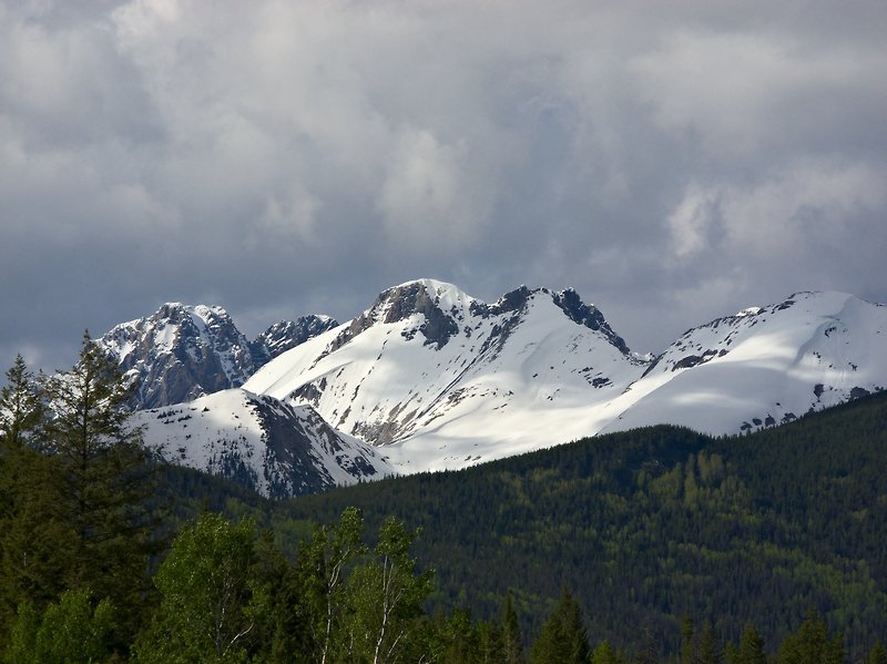 |
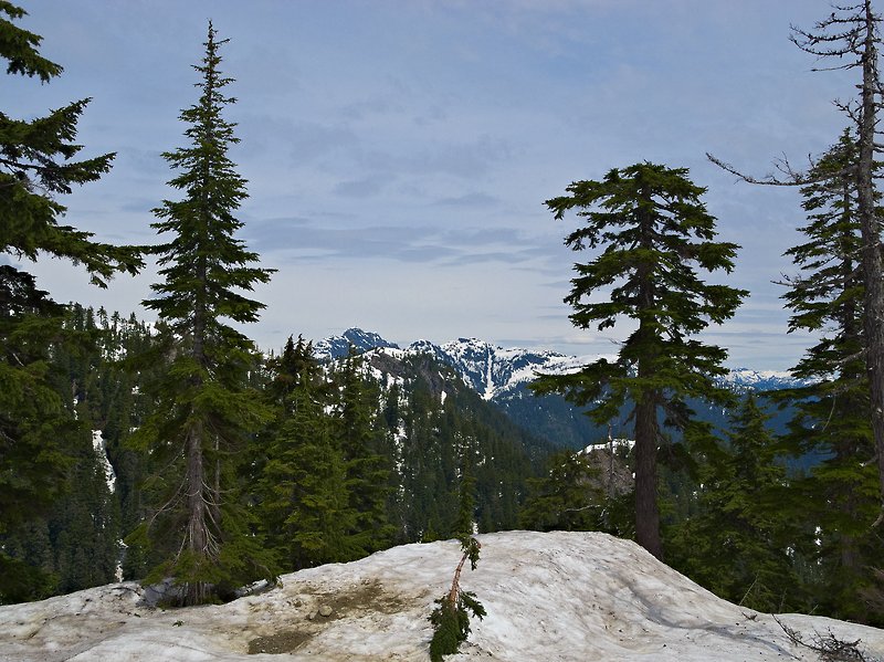
Snow-Covered Mountains, Kootenay National Park, BC
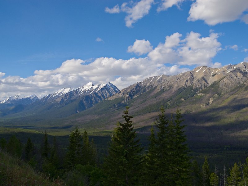 |
Kootenay Valley & Mitchell Range, Kootenay National Park, BC
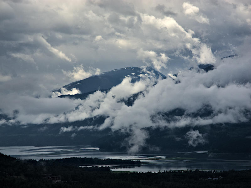 |
Columbia River after Rainstorm, Revelstoke, BC
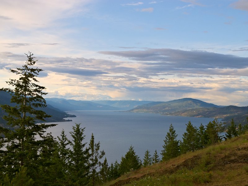 |
Okanagan Lake, BC
 |
Kelowna and Okanagan Lake, BC
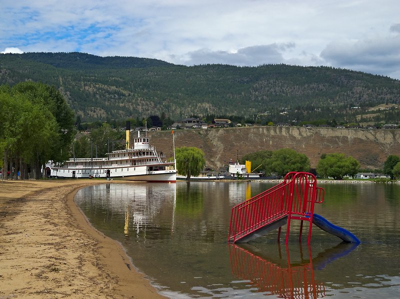 |
Beach, Penticton, Okanagan Lake, BC
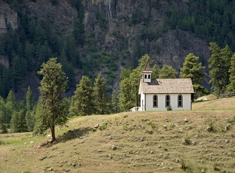 |
St. Ann's Church near Hedley (Hwy 3), BC
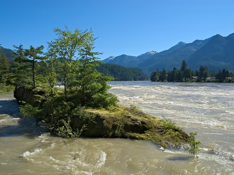 |
Fraser River near Hope, BC
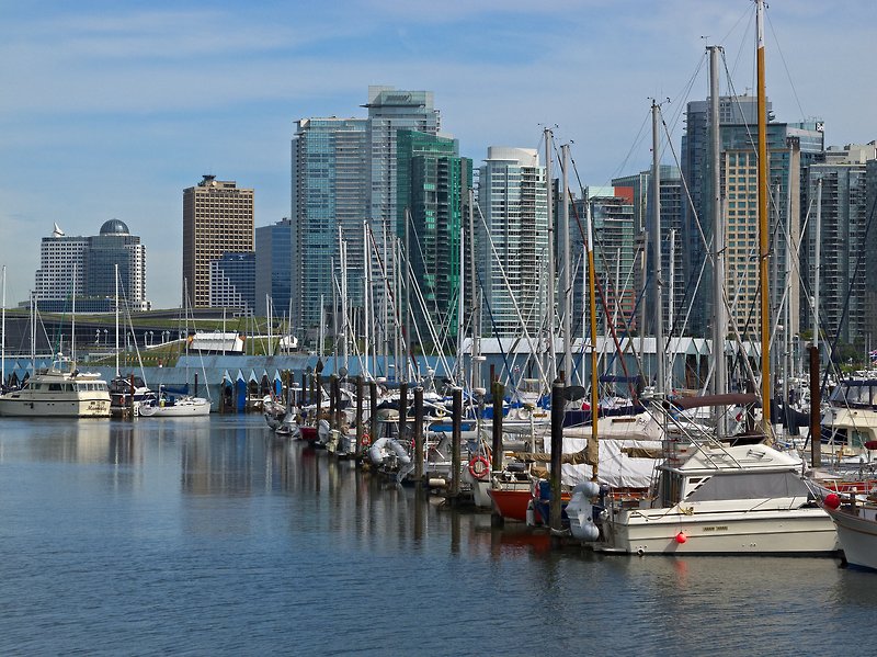 |
Coal Harbour seen from Stanley Park, Vancouver, BC
 |
Canada Place, Convention Center, Lookout Tower, Vancouver, BC
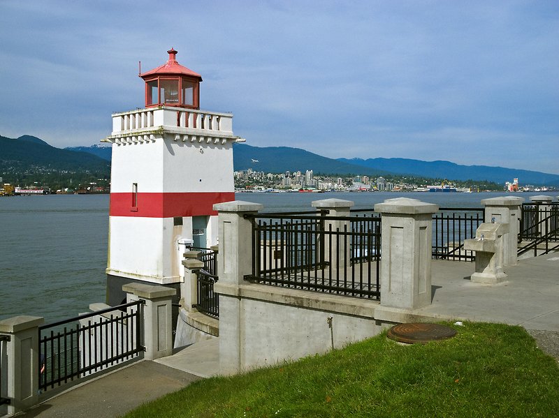 |
Brockton Point Lighthouse, Stanley Park, Vancouver, BC
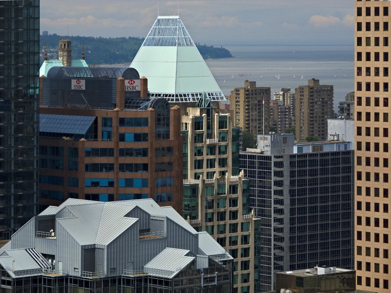 |
Downtown Vancouver with English Bay, seen from Lookout Tower
 |
Canada Place, Downtown Vancouver, BC
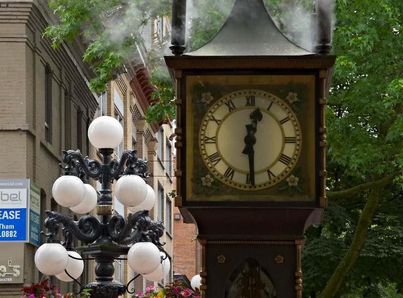 |
Steam Clock, Gastown District, Vancouver, BC
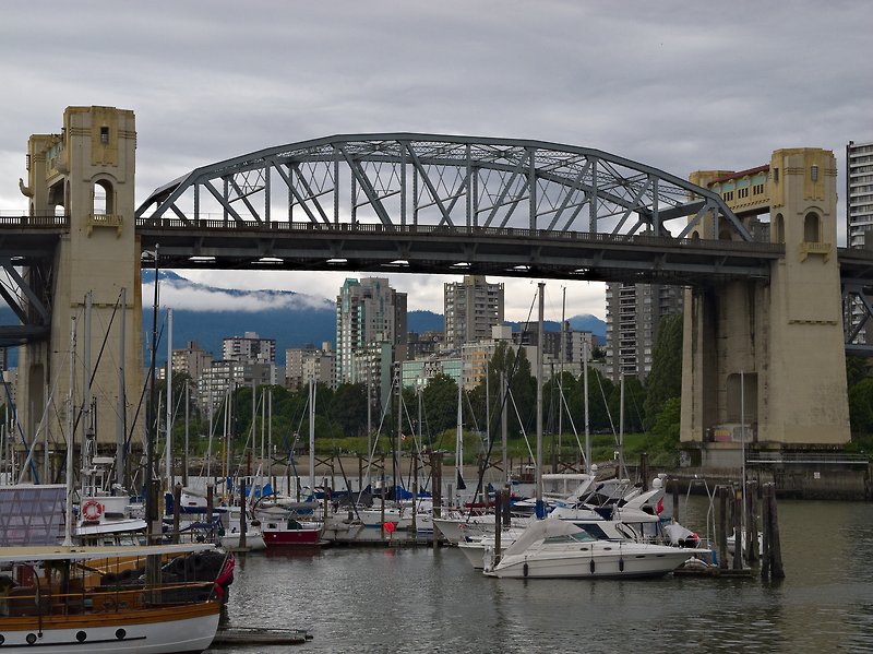 |
Burrard Bridge seen from Granville Island, Vancouver, BC
 |
English Bay, Vancouver, BC
 |
View from Grouse Mountain, North Vancouver, BC
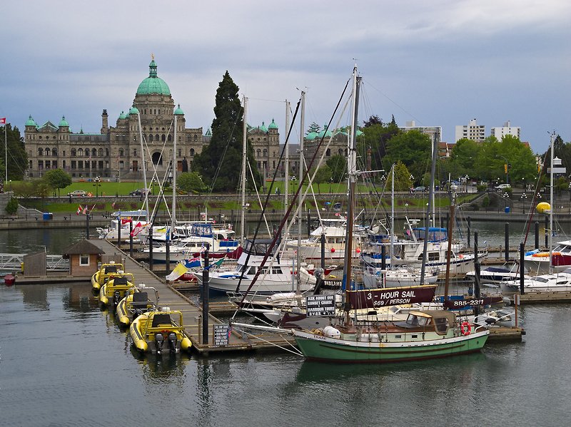 |
Inner Harbour with Parliament Building, Victoria, Vancouver Island, BC
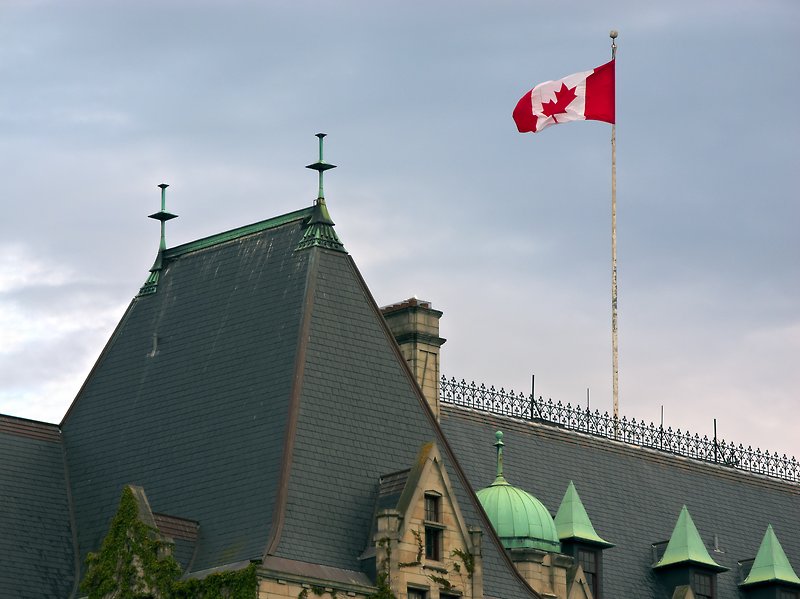 |
Roof of Empress Hotel with Flag, Victoria, Vancouver Island, BC
 |
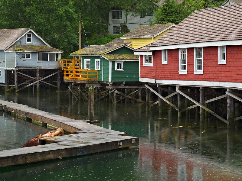
Floating Houses, Fisherman's Wharf, Victoria, Vancouver Island, BC
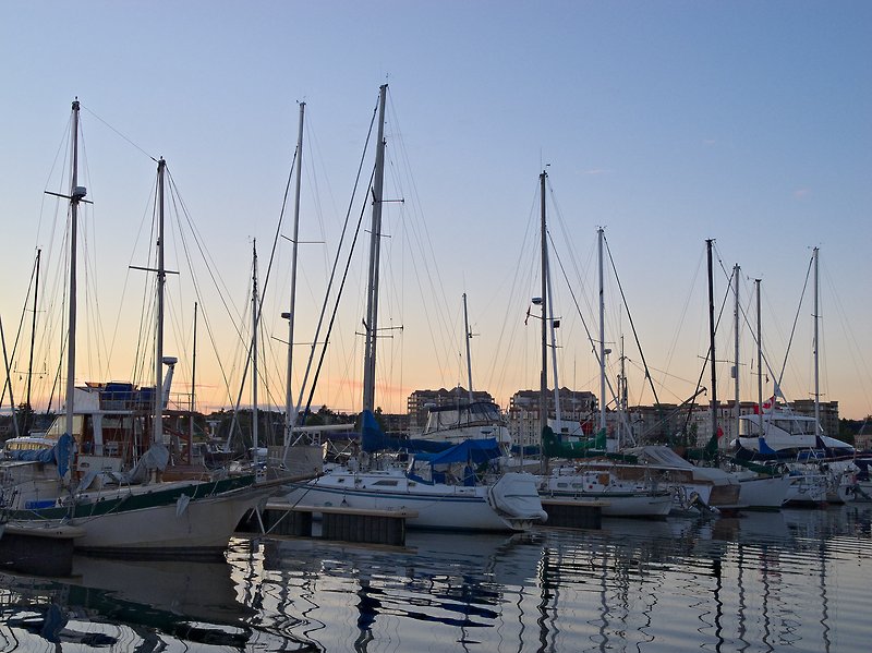 |
Sailboats, Dusk, Fisherman's Wharf, Victoria, Vancouver Island, BC
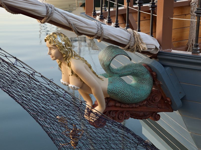 |
Figurehead, Fisherman's Wharf, Victoria, Vancouver Island, BC
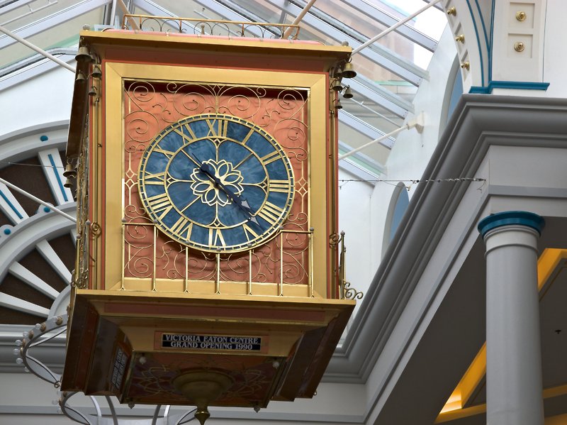 |
Clock, The Bay Centre, Victoria, Vancouver Island, BC
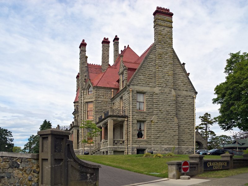 |
Craigdarroch Castle, Victoria, Vancouver Island, BC
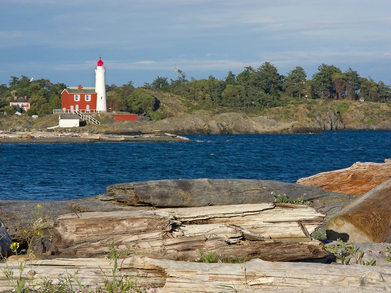 |
Fisgard Lighthouse seen from Coburg Peninsula, near Victoria, Vancouver Island, BC
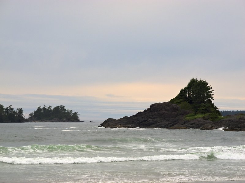 |
Rocks and Surf, Cox Bay, near Tofino, Vancouver Island, BC
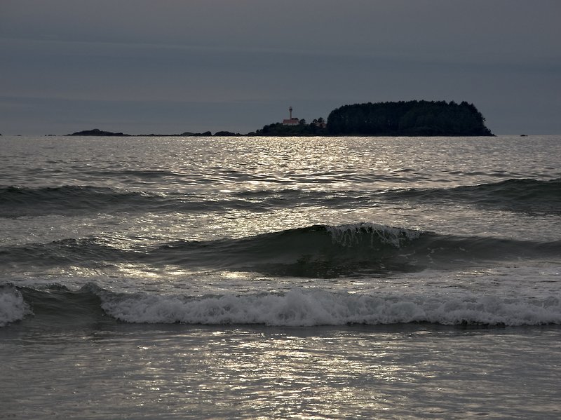 |
Lennard Lighthouse seen from Cox Bay, near Tofino, Vancouver Island, BC
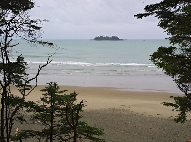 |
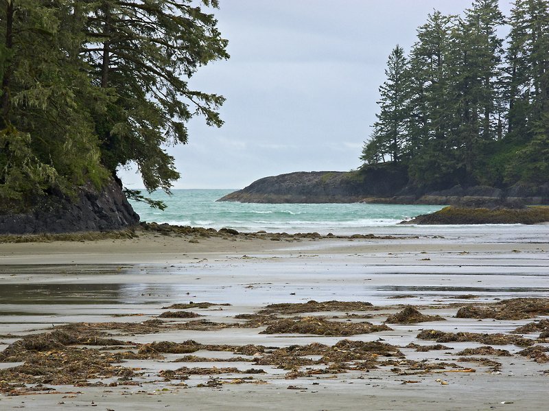
Florencia Bay, near Tofino, Vancouver Island, BC
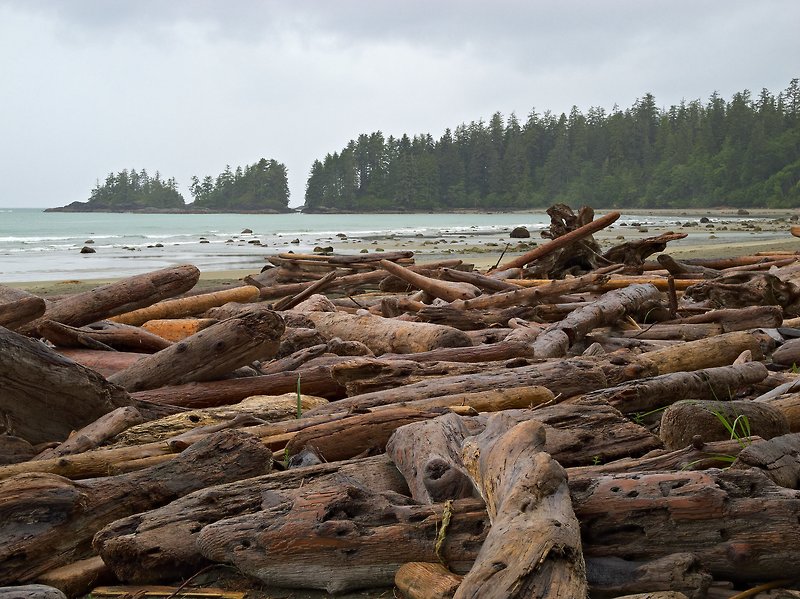 |
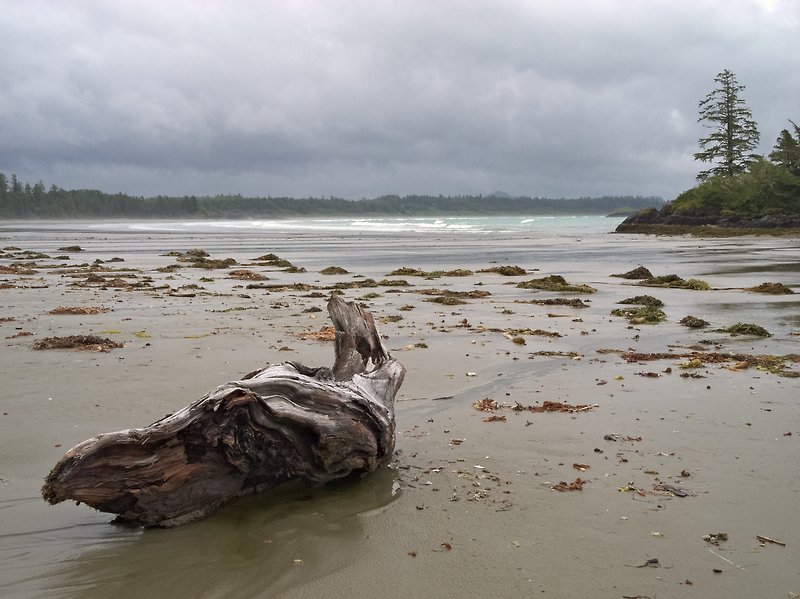
Driftwood, Florencia Bay, near Tofino, Vancouver Island, BC
 |
Coast near Ucluelet, Vancouver Island, BC
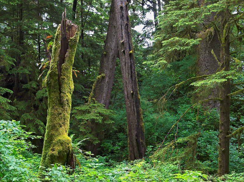 |
Rainforest, Schooner Cove Trail, near Tofino, Vancouver Island, BC
 |
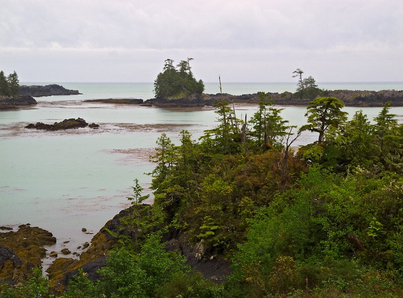
Schooner Cove near Tofino, Vancouver Island, BC
 |
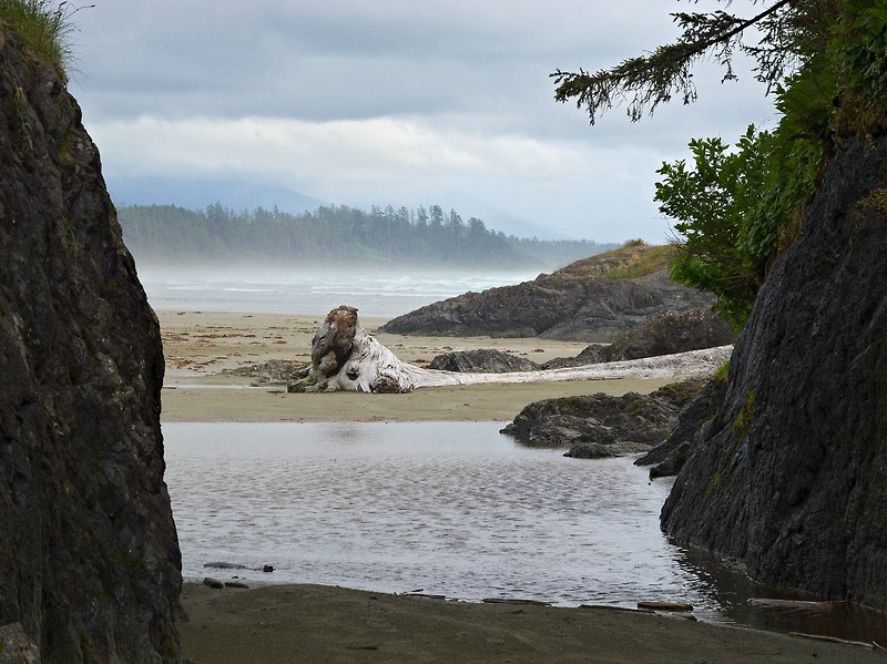
Driftwood, Schooner Cove near Tofino, Vancouver Island, BC
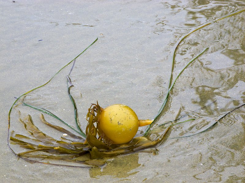 |
Seaweed, Schooner Cove near Tofino, Vancouver Island, BC
 |
Combers Beach, near Tofino, Vancouver Island, BC
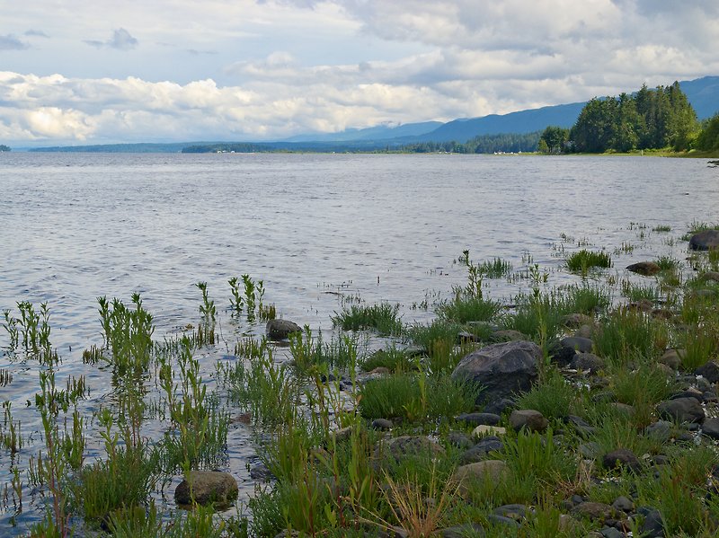 |
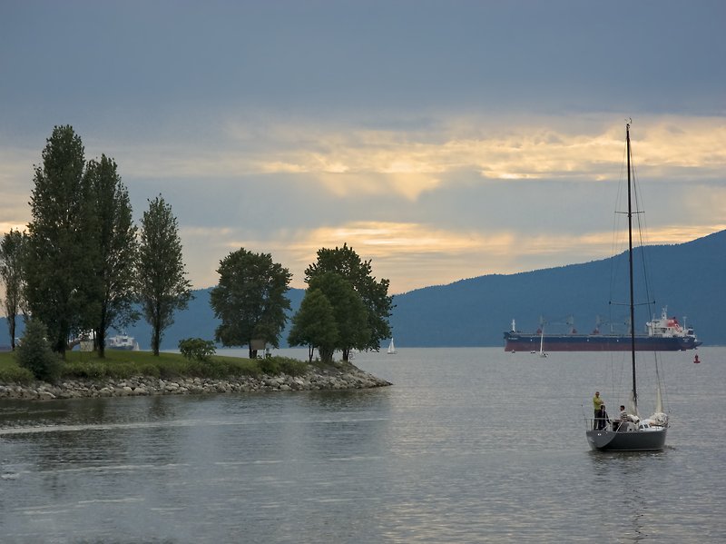
Strait of Georgia, Vancouver Island, BC
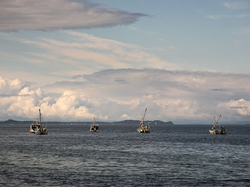 |
Fishing Boats, Strait of Georgia, Vancouver Island, BC
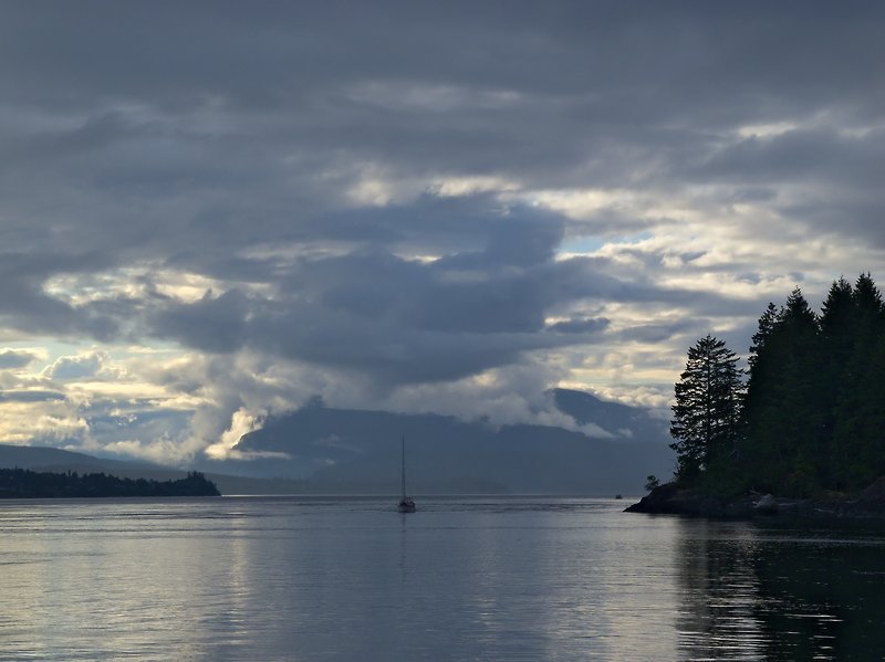 |
Discovery Passage (separating Quadra Island from Vancouver Island)
 |
Boats, Rebecca Spit, Quadra Island, BC
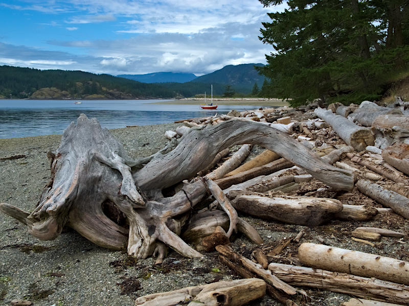 |
Driftwood, Rebecca Spit, Quadra Island, BC
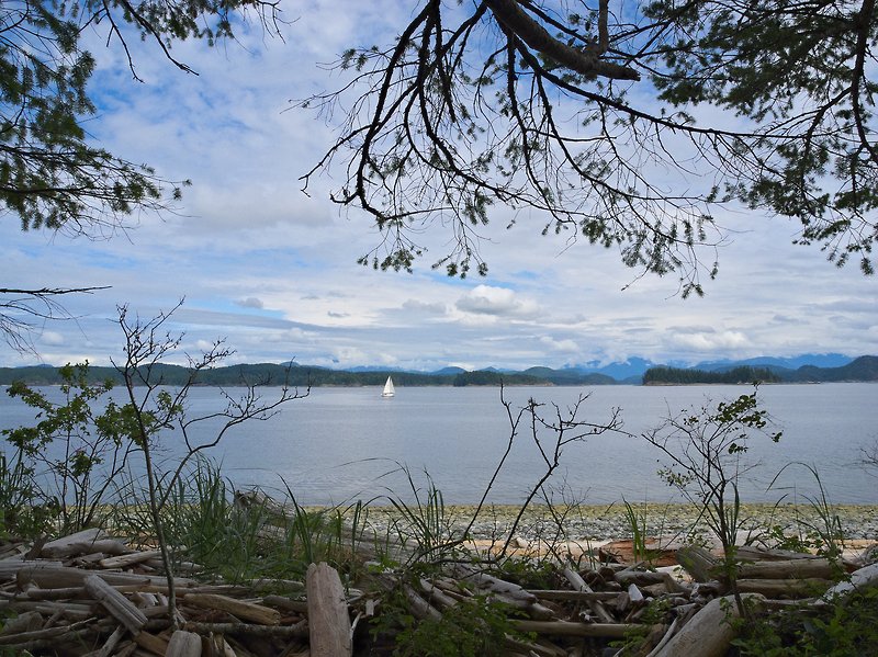 |
Beach, Rebecca Spit, Quadra Island, BC
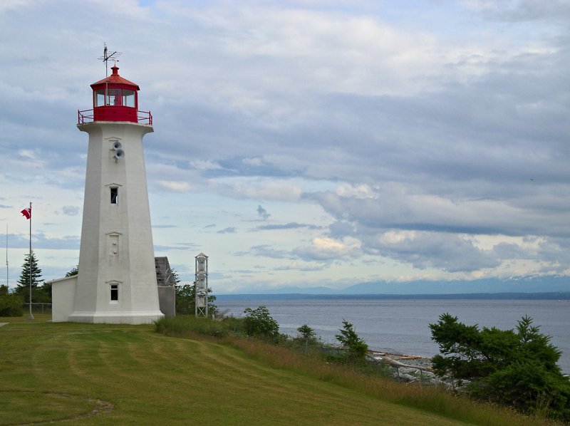 |
Lighthouse, Quadra Island, BC
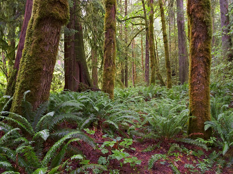 |
Another Rainforest, Elk Falls Provincial Park near Campbell River, Vancouver Island, BC
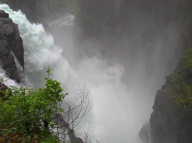 |
Elk Falls near Campbell River, Vancouver Island, BC
 |
Historic Houses, Telegraph Cove, Vancouver Island, BC
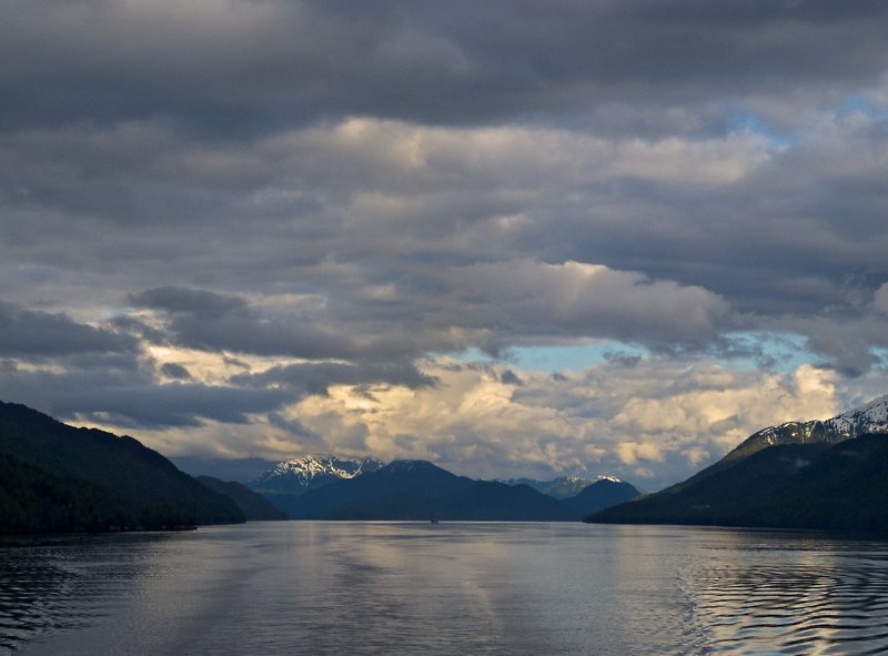 |
Inside Passage (I), BC
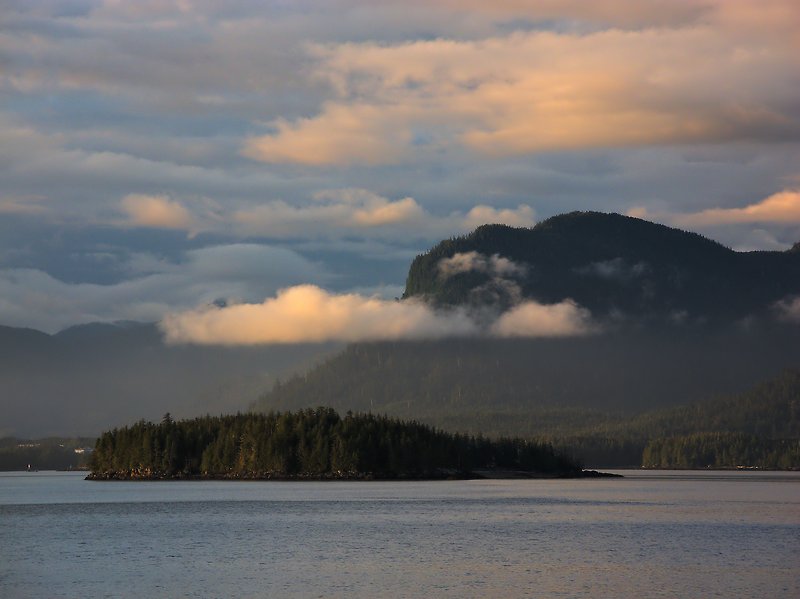 |
Inside Passage (II), BC
 |
Inside Passage (III), BC
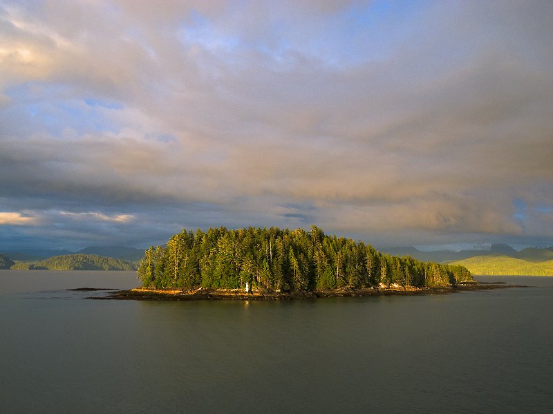 |
Inside Passage (IV), BC
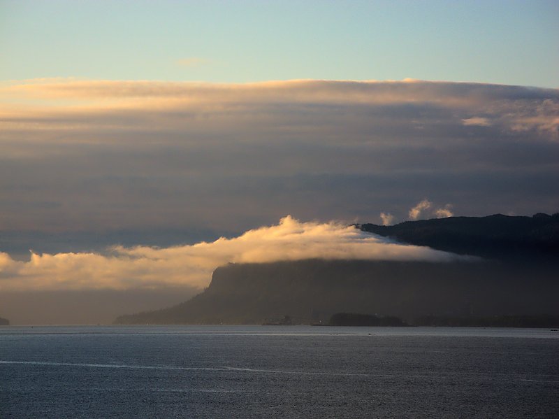 |
Inside Passage, Approaching Prince Rupert, BC
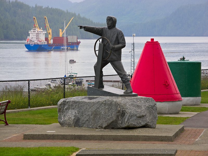 |
Mariner Monument, Prince Rupert, BC
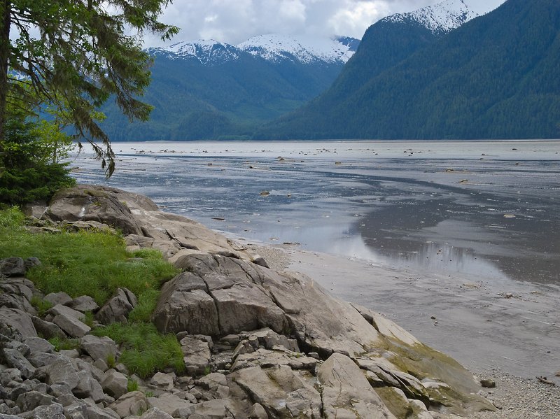 |
Skeena River seen from Hwy 16, BC
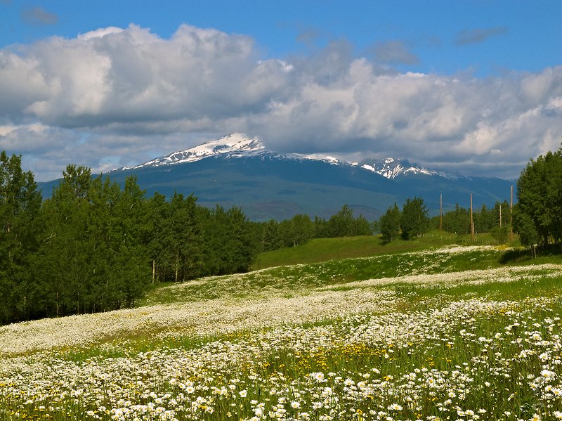 |
Blooming Meadow near Smithers, BC
 |
Downtown Historic Barkerville, BC
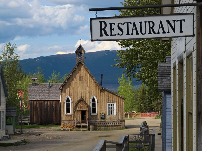 |
Church, Historic Barkerville, BC
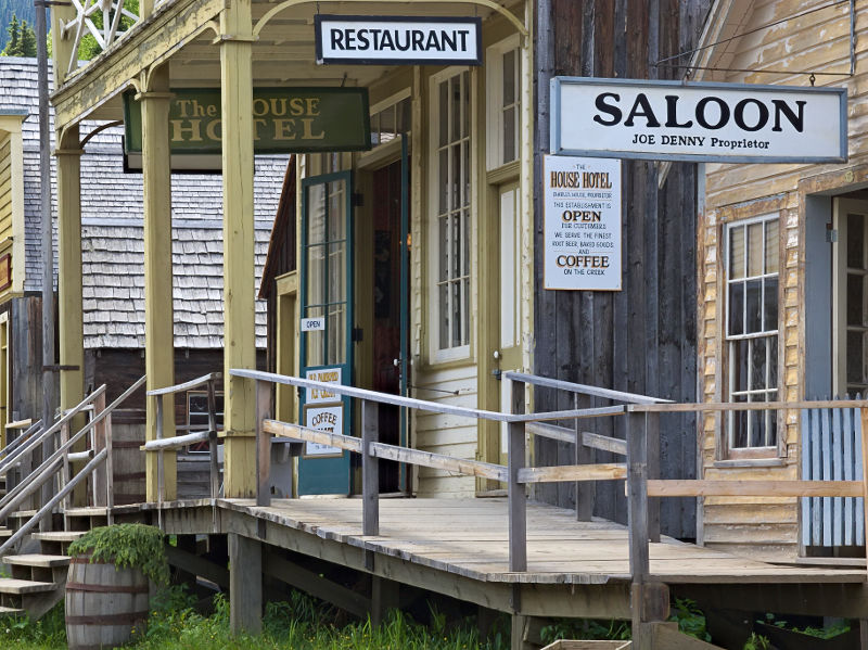 |
Saloon, Historic Barkerville, BC
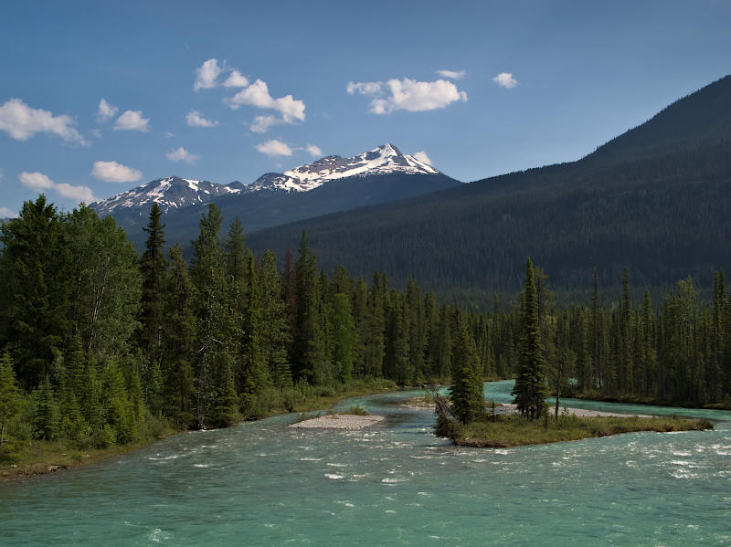 |
Moose River seen from Highway 16, BC
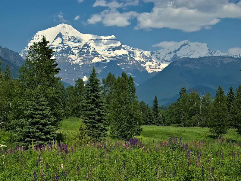 |
Mount Robson, BC (near Jasper)
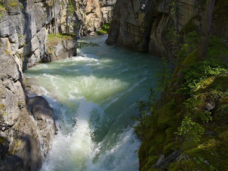 |
Maligne Canyon, Jasper National Park, AB
 |
Maligne River, Jasper National Park, AB
 |
Medicine Lake, Jasper National Park, AB
 |
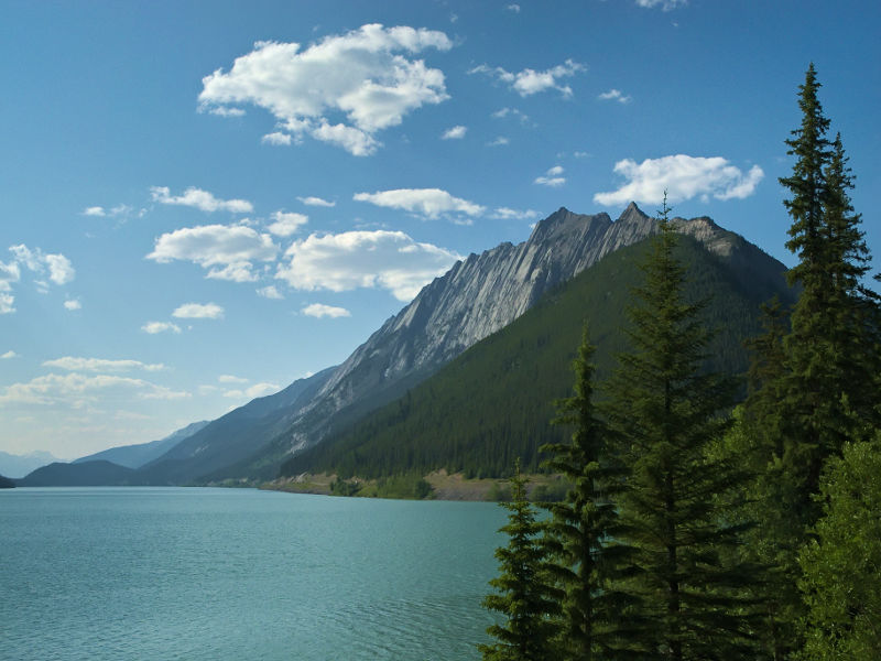
Maligne Lake, Jasper National Park, AB
 |
Spirit Island, Maligne Lake, Jasper National Park, AB
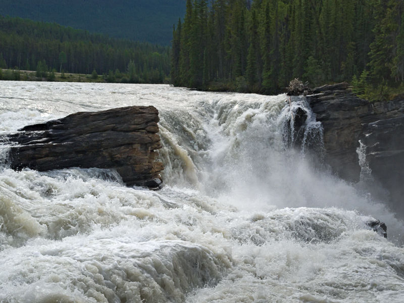 |
Athabasca Falls, Jasper National Park, AB
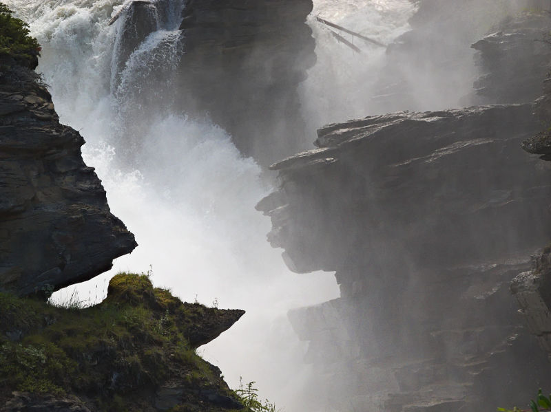 |
Athabasca Falls, Jasper National Park, AB
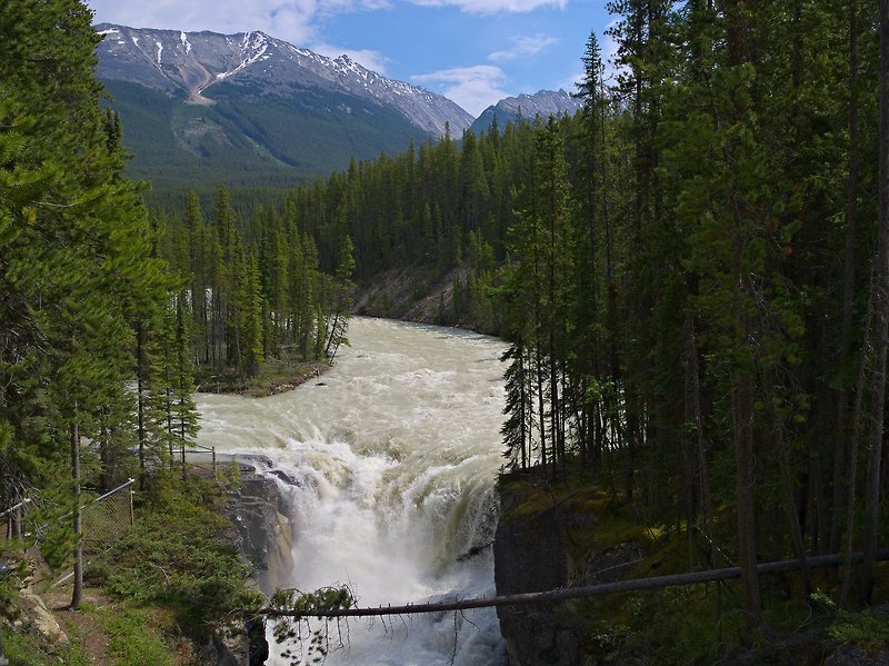 |
Sunwapta Falls, Jasper National Park, AB
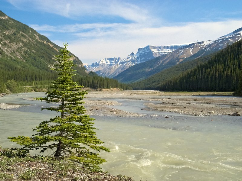 |
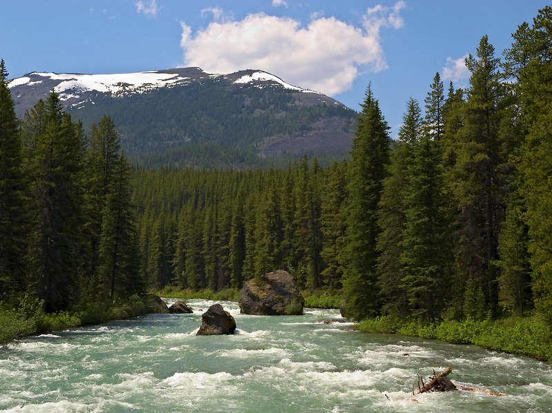
Sunwapta River, Jasper National Park, AB
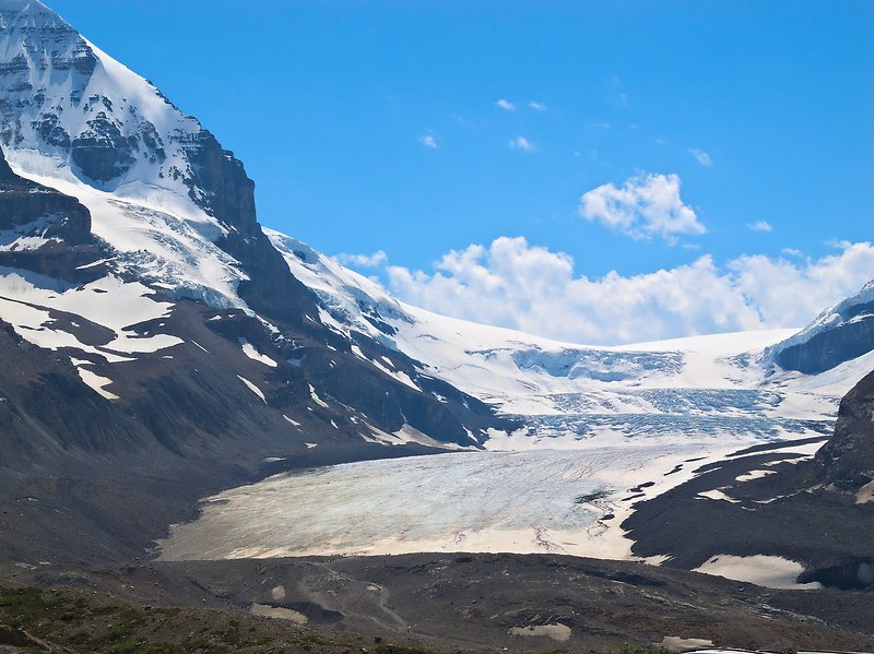 |
Athabasca Glacier seen from Hwy 93 (Icefields Parkway), Jasper National Park, AB
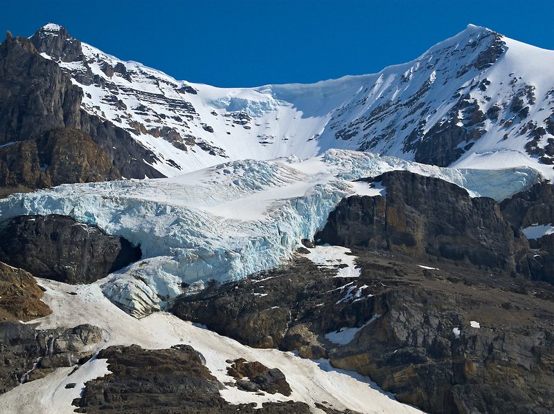 |
Andromeda Glacier, Columbia Icefield, Jasper National Park, AB
This glacier can be seen in the upper left quadrant of the preceding photo.
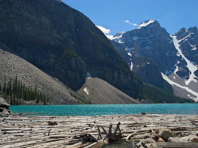 |
Moraine Lake (I), Banff National Park, AB
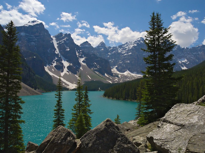 |
Moraine Lake (II), Banff National Park, AB
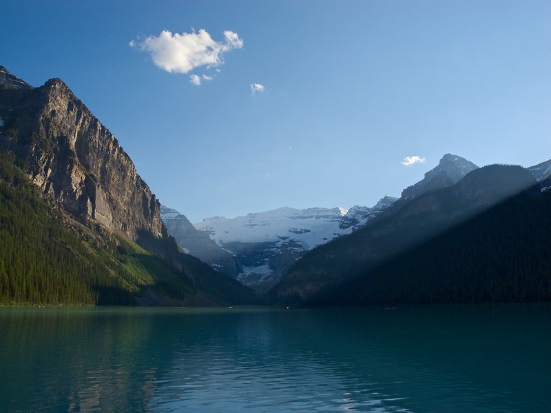 |
Lake Louise, Banff National Park, AB
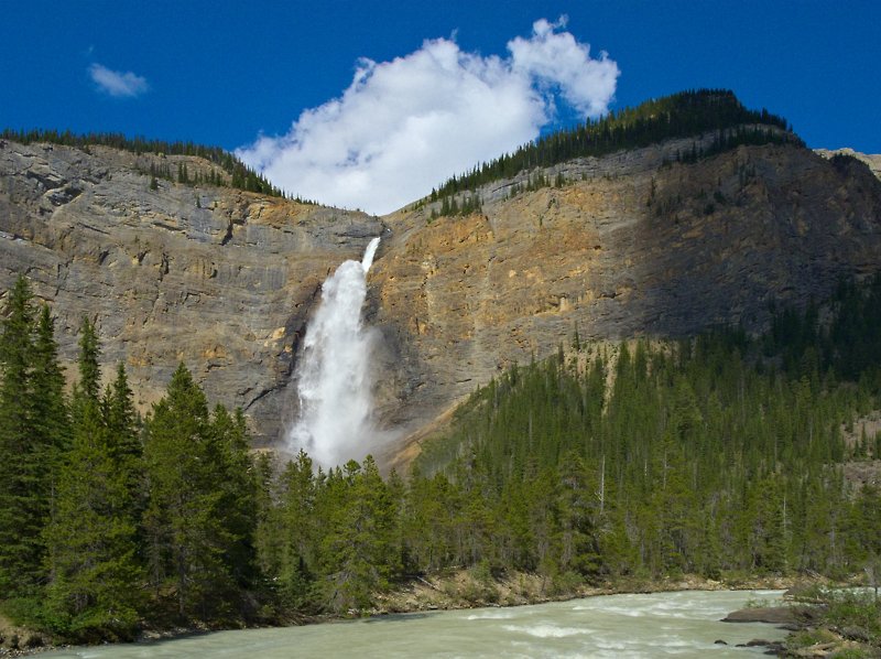 |
Takakkaw Falls, Yoho National Park, AB
Takakkaw Falls not only impressed me by sheer height (free-falling part approx. 250 m) but also by the local microclimate. The free-falling water takes large quantities of entrapped air with it. At the base of the falls, this air, cooled and moisturized, is released and forms a strong wind blowing away from the cliff. This wind and the fine droplets of water it carries can still be felt several hundred meters away from the falls.
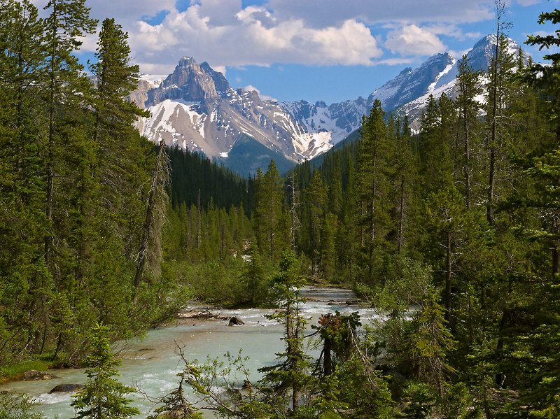 |
River downstream of Takakkaw Falls, Yoho National Park, AB
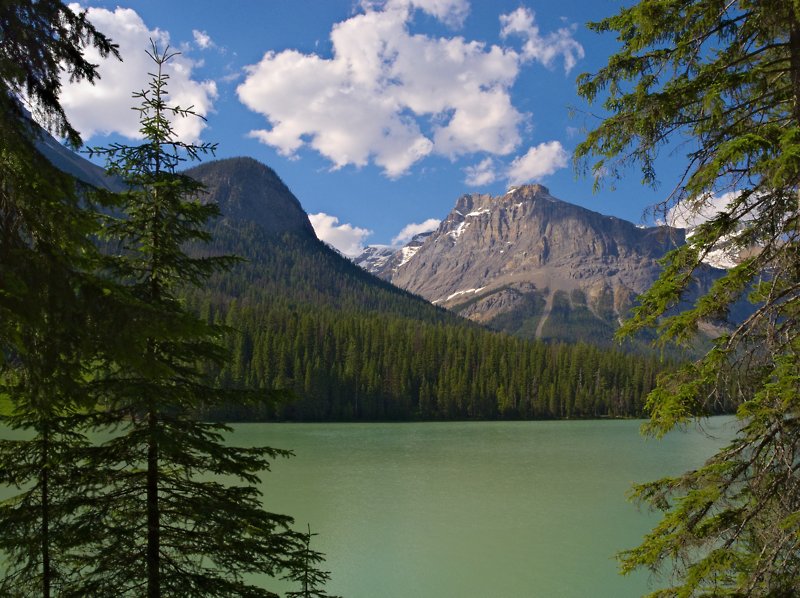 |
Emerald Lake, Yoho National Park, AB
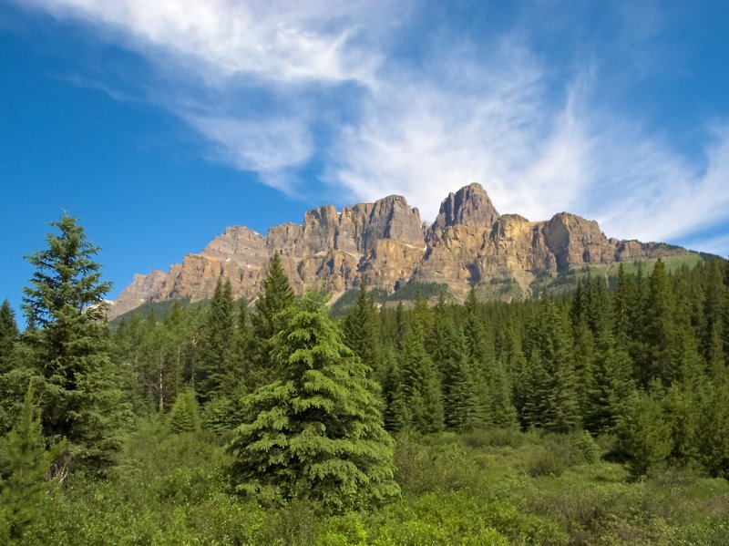 |
Castle Mountain, Banff National Park, AB
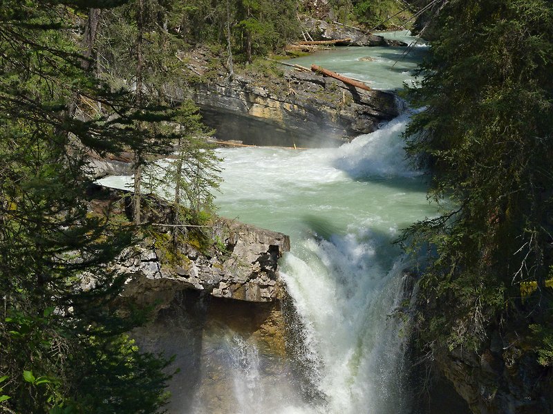 |
Johnston Creek, Johnston Canyon, Banff National Park, AB
 |
Tunnel Mountain, Banff, AB
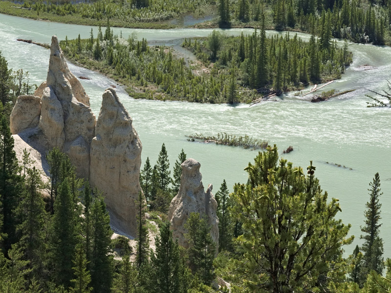 |
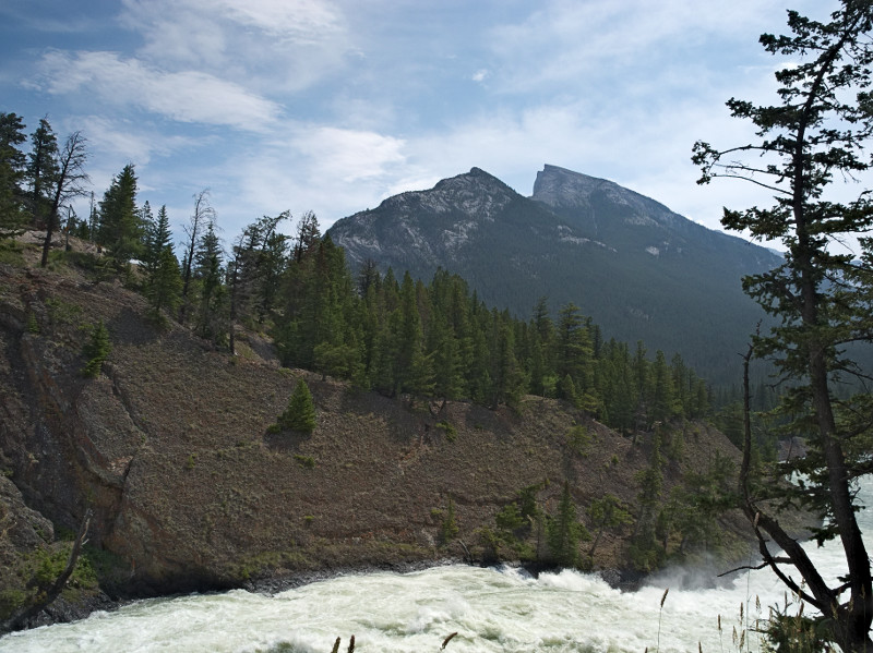
Bow River with Hoodoos, near Banff, AB
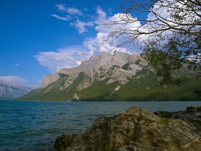 |
Minnewanka Lake near Banff, AB
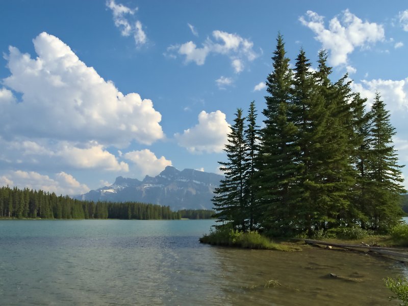 |
Two Jack Lake near Banff, AB
 |
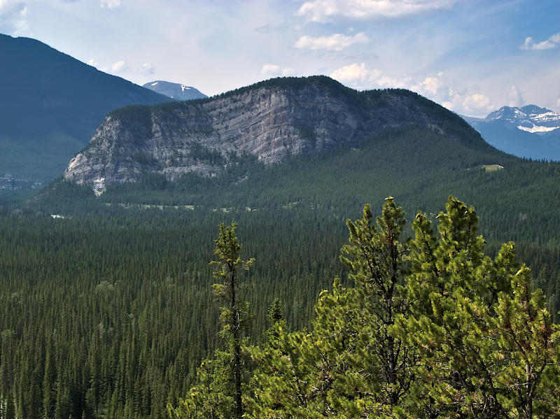
Mount Rundle, Banff, AB
 |
Bow River & Mt. Rundle, Banff, AB
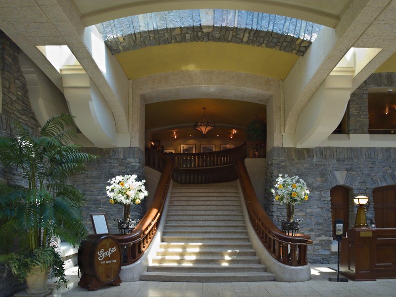 |
Stairs, Banff Springs Hotel, Banff, AB
|